

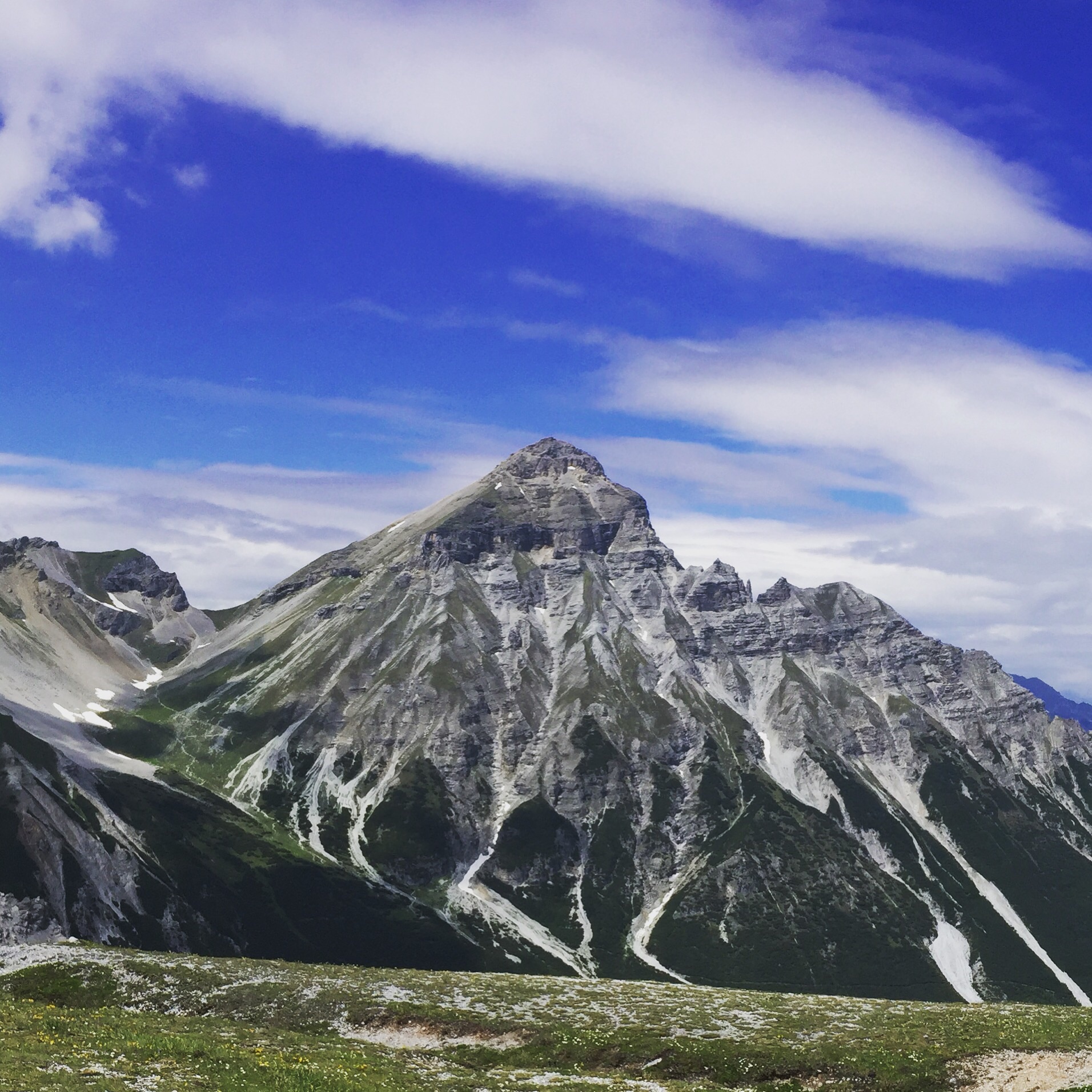
The weather’s been a little mixed during the week I’ve spent mountain biking in Austria. Rain, snow, sun, and fog all conspired to keep bikers off the mountain. Each day looked like it would be bad but each day the sun appeared and the rides and views were magnificent!
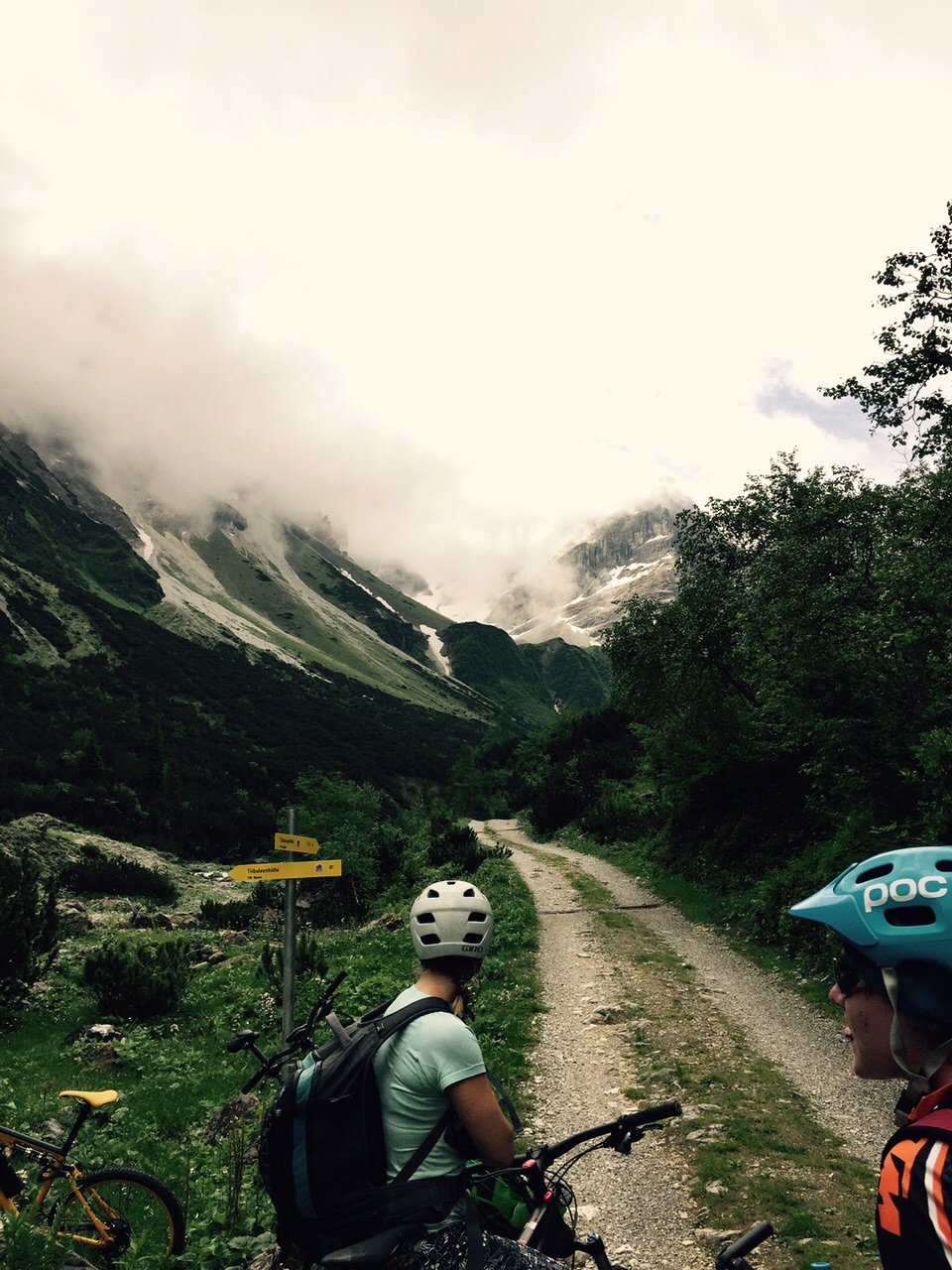
The Tirol is covered in thousands of kilometres of forest roads which allow the forestry workers and fire services access to the high mountains. Above 1800m the roads service pastures, huts and occasionally ski stations. They’re in the main part gravel tracks and the higher sections may be more of a compressed earth. They also provide the perfect access for mountain bikers. There is a network of walking paths that provide demanding downhill routes for those that like to be technically tested on the way down.
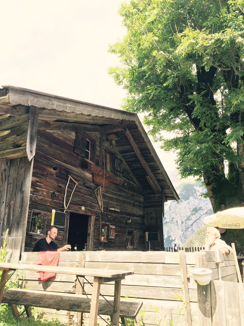
For those that prefer to reward themselves with a bowl of pasta and a radler (shandy) at a hut on top of the mountain the forest roads offer a fast roll home with the work having been done on the way up.
I couldn’t recommend a mountain biking trip to the Tirol highly enough. Forget about full face helmets and body armour. Road cyclists will find that a hard tail with spd’s lets you access pretty much anywhere in regular cycling gear. The descents are fast and fun without being too technically challenging – unless you leave the roads and take the hiking paths that is. You can hire very good mountain bikes in most areas so there’s no need to take your own.
If anyone is interested in a trip the weather is generally more stable in September. There are plenty of hut to hut tours that can be undertaken. Basing yourself in Innsbruck or one of its villages also opens up many day tours. Forty quid a night will get you a single room in a four star hotel with a spa and flights can be found for under £100 from Gatwick to Innsbruck.
If you want info or help planning a trip let me know via Paul or commenting on this post.
2 Responses
Stephen Binger
I am interested, I have 1,5,6,11 and 12 of the Moser guides. I have ridden a number of these trails. 10 years ago. Each book covers in great detail some 50 rides, the profile, the distance, the time (German), and the height of the climb. Not to be forgotten is the alm where Beer, radler, buttermilk, and sausages are offered, this is always mentioned. Needed is an accurate taco, because the details say – travel 87meters then turn half left etc..
joc
This site has a very good route planning tool that can generate tracks for garmins: http://www.alpenvereinaktiv.com/en/
I’ve used it to transfer a route from a guide book into GPS directions.